
The alternative routes

Route description
The alternative routes lead from the Lower Engadine to the Upper Engadine and then back to Scuol via the tried-and-tested Putèr route from S-chanf. The highest point of the race is at 2,000 metres above sea level, meaning that the route can also be used in cold temperatures (and in the event of snowfall). The route lengths are also designed to be fairly close to the original distances.
The long alternative route is 108.7 km long with an elevation gain of 2880 metres (KML, GPX), while the medium alternative route is 76.3 km long with an elevation gain of 1629 metres (KML, GPX).
The advantage of this route is that the organising committee can wait relatively long before making a decision, as the signalling and organisation of the route are not too complex. We are confident that this offers you an attractive alternative.
All information on the current situation can be found on the homepage.
The long alternative route
Information about the long route Scuol - Zuoz - Scuol
| distance | 108.7 km |
|---|---|
| altitude meters upwards | 2800 |
| altitude meters down | 2853 |
| highest point | 2044 m.a.s.l. |
| lowest point | 1181 m.a.s.l. |
The middle alternative route
Information about the middle route Zernez - Zuoz - Scuol
| distance | 76 km |
|---|---|
| altitude meters upwards | 1629 |
| altitude meters down | 1890 |
| highest point | 2044 m.a.s.l. |
| lowest point | 1181 m.a.s.l. |
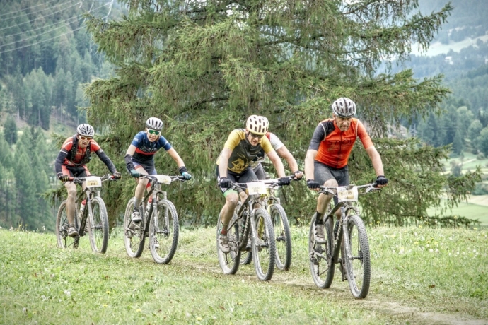
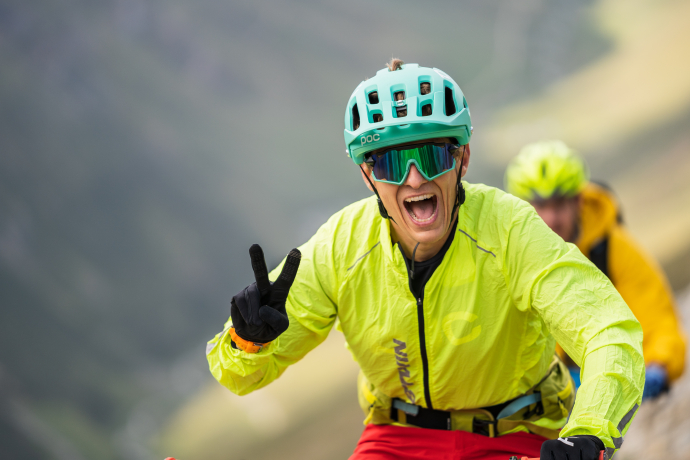
General impressions


7 Bilder anzeigen
